Data Access
Provided by 
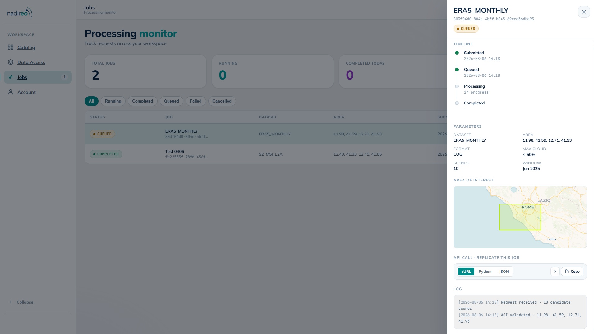
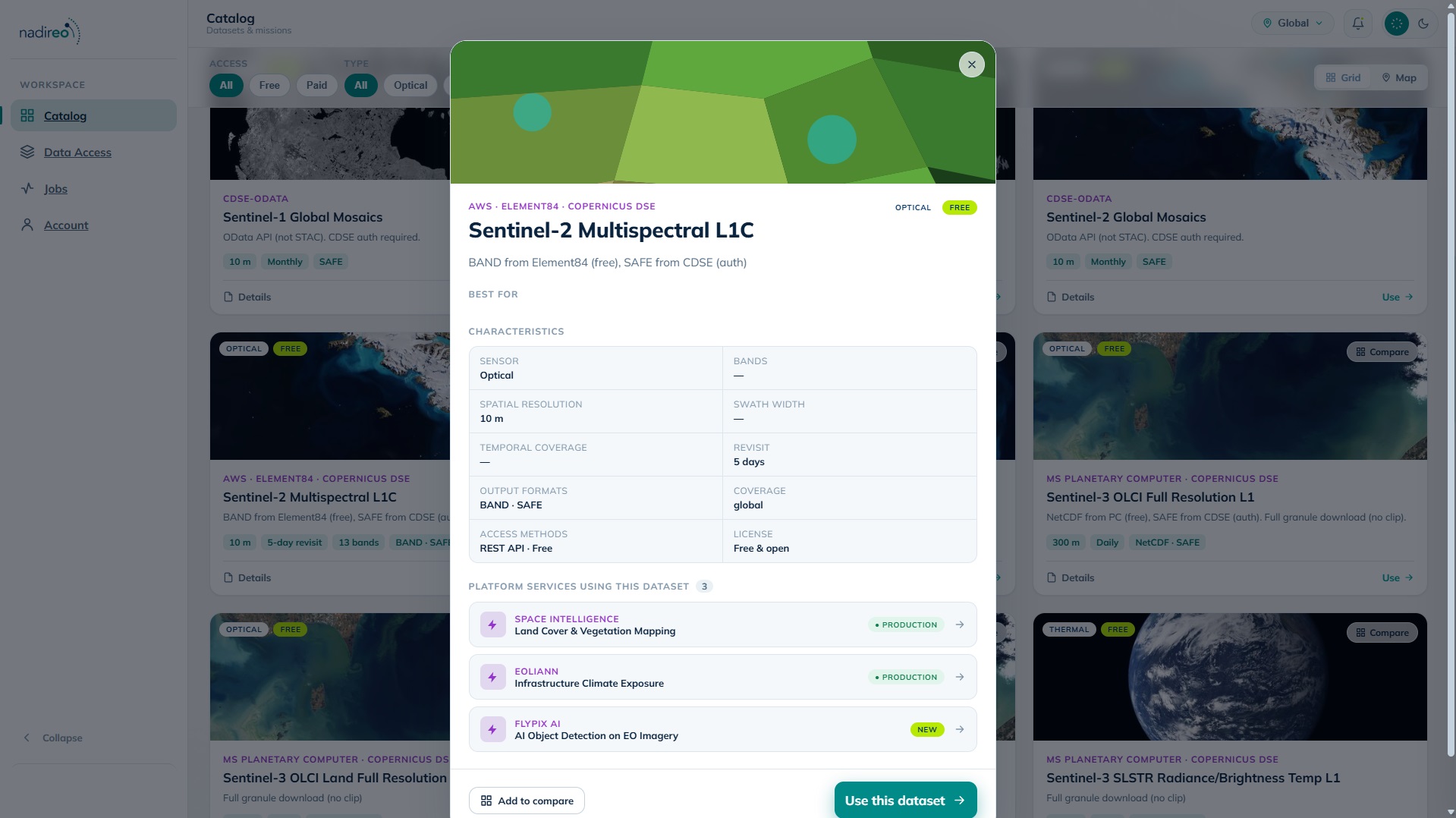
NadirEO Data Access is the platform’s unified gateway to Earth data, providing resilient, on-demand access to a broad catalogue of more than 200 open sources — spanning far beyond satellite imagery. Alongside optical and radar missions such as Sentinel-1, Sentinel-2, and Landsat, the service reaches climate and weather reanalysis, elevation and terrain models, land cover and land-use datasets, vegetation and biomass products, population and built-environment layers, and a wide range of environmental and geophysical datasets.
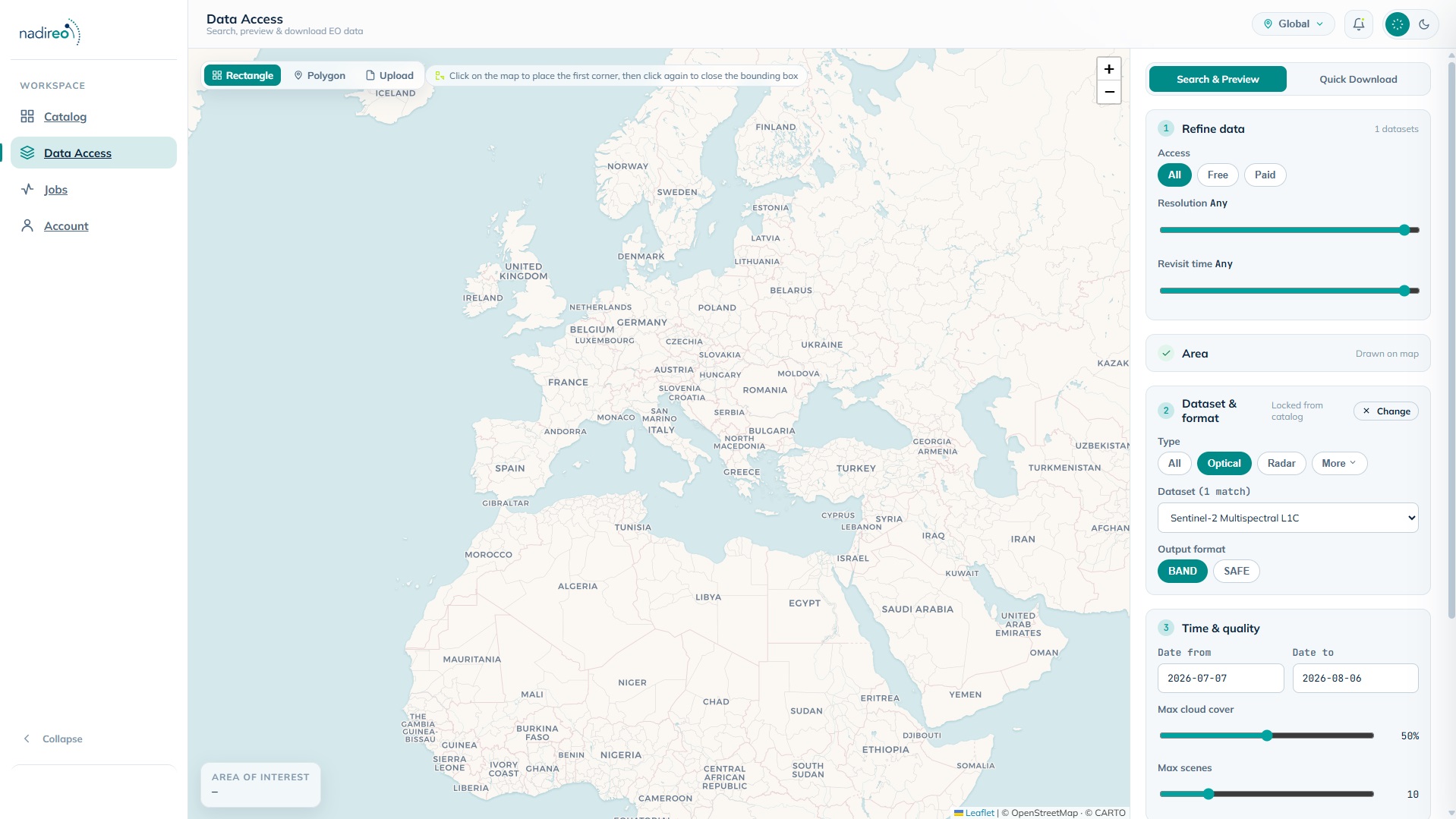
Built on cloud-native geospatial standards, the service discovers data through STAC catalogues and reads directly from public cloud storage, returning only the area and variables requested rather than depending on the rate-limited APIs of individual providers. Users simply select the dataset, area of interest, time range, bands or variables, and output format; the service transparently handles spatial clipping, multi-scene mosaicking, format conversion, and reliable delivery at scale, combining unrestricted free sources with a managed queue for rate-limited archives.
Fully integrated with the NadirEO ecosystem, Data Access acts as the data foundation for the platform’s application modules and services — from super-resolution and flood delineation to hazard assessment — feeding analysis-ready data directly into automated Earth Observation workflows, or delivering it to your own tools and pipelines through a developer-friendly API. By removing the complexity of multi-source data retrieval, it lets teams focus on analysis and decision-making rather than data logistics.
Preview / Demo
Related Services
Land Cover Change
Reports what turned into what between two dates (e.g.: forest to cropland, cropland to built-up) with the area of every\u2026
Renewable Energy Potential Index
Scores any area for solar and wind resource quality on one comparable index, built from two decades of satellite and\u2026
Building Footprint Extraction
Extracts individual building outlines, with height estimates, over any area, from whatever satellite imagery is available for it.
CAP Area Monitoring
Checks every agricultural parcel in a region against what the farmer declared, continuously through the season, and sorts them into\u2026
Space Academy
A catalogue of space training services built on 60+ years of operational experience, delivered by global space experts.
Landslide Motion Monitoring
Measures millimetre-per-year slope movement from radar, and flags the slopes that are accelerating.
Methane & Air Quality Monitoring
Maps nitrogen dioxide, sulphur dioxide, carbon monoxide and methane across a region, and flags the large methane releases that now\u2026
Report Builder
Turns the output of a job into a finished document (maps, figures, statistics, method and sources) under the client’s own\u2026
